BikeManawatu Member Profiles
Some of our club members
No Results Found
The page you requested could not be found. Try refining your search, or use the navigation above to locate the post.
BM29A – Longburn, Main Drain, Lockwood Rd
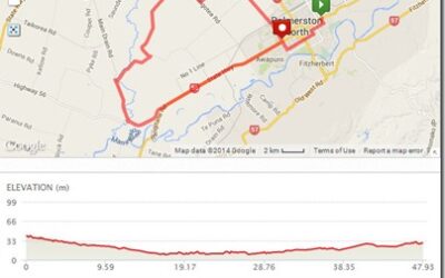
Route Map Ride description BM29A – Longburn, Main Drain, Lockwood Rd Distance: 48km Description: College St, Pioneer Hwy, SH56, Longburn, Main Drain, Hoihere Rd, Lockwood Rd, Aranui Rd, Gillespies Line,...
BM26C – Main Drain, Penny Rd, Sandon Rd, Feilding
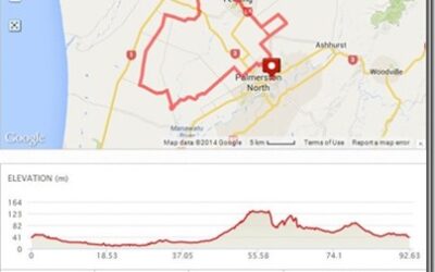
Route Map Ride description BM26C – Main Drain, Penny Rd, Sandon Rd, Feilding Distance: 93km Description: Tremaine Ave, Gillespies Line, KB Road, Hoihere Rd, Main Drain, Taikorea Rd, Kellow Rd, Penney Rd, Mt Biggs, Sandon Rd, Feilding, Campbell Rd,...
BM50 – Mangaweka
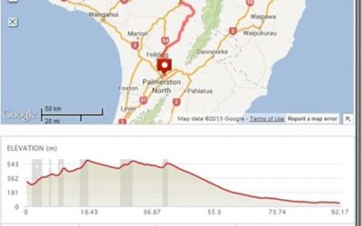
Route Map Ride description BM50 – Mangaweka Distance: 91km Description: Mangaweka, Kimbolton, Colyton Campbell Rd, Home
BM20B – Kopane, Feilding
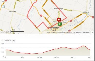
Route Map Ride description BM20B – Kopane, Feilding Distance: 48km Description: Gillespies Line, KB Road, Rongotea Rd, Greens Rd, Feilding, Campbell Rd, Stoney Creek,...
BM01A Makino Road via Beaconsfield
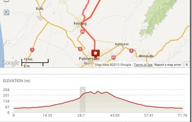
Route Map Ride description BM50 – Makino Road via Beaconsfield Distance: 72km Description: Railway road to Bunnythorpe Campbells Line through Feilding Kimbolton Road Haynes Line, Beaconsfield Mackays Line Makino and back through...
BM50 – Brass Monkey Ride
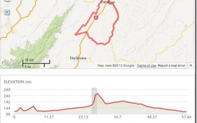
Route Map Ride description BM50 – Tane, Rongamai, Hukanui, Scarborough Distance: 57km Description: Route starts at the Black Stump Cafe, Main Street (ANZ corner)...
BM30 – Track Saddle
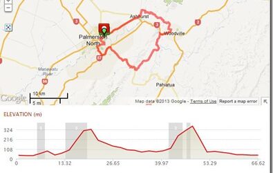
Route Map Ride description BM30 – Track Saddle Distance: 67km Description: Track Saddle Fitzroy, Ruahine, Pahiatua St, Te Awe Awe, Summerhill, Pahiatua Track, Balance Valley Rd, Woodville, Woodlands Rd, Saddle Rd Ashhurst and back to town
BM26E – Lockwood, Hoihere, Bainesse
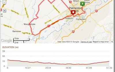
Route Map Ride description BM26E – Bainesse, Hoihere, Lockwood Distance: 52km Description: Lockwood, Hoihere, Bainesse Fitzroy, Ruahine, Te Awe Awe, Park Rd, Gillespies, Aranui , rongotea Rd , Lockwood , Hoheri Road , Main Drain to SH56 and back to...
BM16 – Mangaone Hill, Stanway
Route Map Ride description BM16 – Mangaone Hill, Stanway Distance: 83km Description: Mangaone Hill, Stanway Napier Rd, Stoney Creek Rd, Campbell’s line, Lethbridge Rd, Makino Rd, left up Mangaone Hill to Halcome, Rt up Stanway Rd, back down Makino Rd Campbell’s line...
BM18 – Taonui Rd Northbound
Route Map Ride description BM18-Taonui Rd Northbound Distance: 83km Description: Taonui Rd Northbound Napier Rd to Ashhurst, Oxford St, Colyton Rd to the top of Watershed Rd hill. Through to Taonui Rd Rt up Taonui northwards past the Valley Rd turnoff and all the way...
