BikeManawatu Member Profiles
Some of our club members
No Results Found
The page you requested could not be found. Try refining your search, or use the navigation above to locate the post.
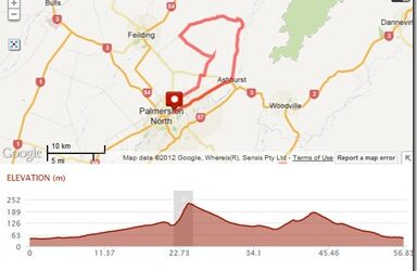
BM05 – Ashhurst Valley Rd
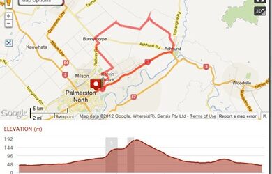
Route Map Ride description BM05 – Ashhurst Valley Rd Distance: 57km Description: Ashhurst Valley Rd Napier Rd, Ashhurst, Pohangina Rd, Valley Rd, Colyton, Left to Watershed Rd Hiwinui, Bunnythorpe Rd Kelvin Grove Rd, Tremain Ave
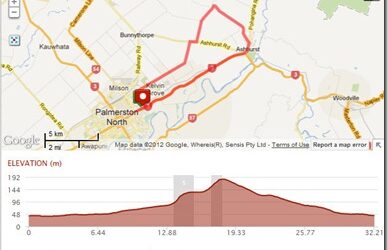
BM04 – Ashhurst Hiwinui
Route Map Ride description Distance: 35km Description: Ashhurst Hiwinui Napier Rd, Ashhurst, Oxford St, Watershed Rd, Hiwinui, Bunnythorpe Rd left into Kelvin D Grove Rd Tremain...
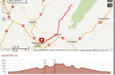
BM09A – Totara Reserve Return
Route Map Ride description BM09A – Totara Reserve Return Distance: 72km Description: Totara Reserve Return Napier Rd, Ashhurst, Raumai, Pohangina Valley Rd East, Turn back at Highland Home, Home via Ashhurst
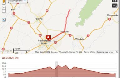
BM09B – Pohangina Village Return
Route Map Ride description Distance: 53km Description: Pohangina Village Return Napier Rd, Ashhurst, Raumai, Turn back at Pohangina Village, Home via...
BM09C – Ashhurst, Oxford St, Bunnythorpe
Route Map Ride description Distance: 39km Description: Ashhurst, Oxford St, Bunnythorpe Napier Rd, Ashhurst, Oxford St, Watershed , Reids Line E, Dixons, Bunnythorpe, Tutaki, Kelvin Grove Rd,...
BM27A – Feilding Halcombe Colyton
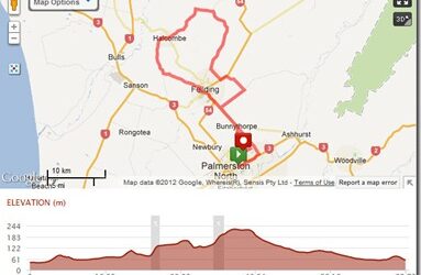
Route Map Ride description BM27A – Feilding Halcombe Colyton Distance: 83km Description: Stoney Creek Rd, Feilding, Sandon Rd, Mt Biggs, Mt Biggs Rd, Halcombe Stanway, Makino Rd, Colyton Rd, Colyton, Taonui Rd, Campbell Rd, Bunnythorpe, Tutaki Rd, Home
BM27C – Bunnythorpe Reids Line
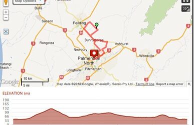
Route Map Ride description Distance: 45km Description: Stoney Creek Rd, KelvinGrove Rd, Ashurst-Bunnythorpe Rd, Nanstead Line, Reids line, Aorangi Rd, Campbell Rd, Bunnythorpe, Tutaki, Kelvingrove Rd,...
BM30C – Opiki Linton
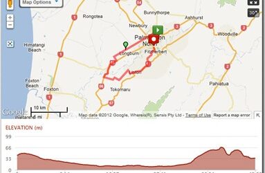
Route Map Ride description BM30C – Opiki Linton Distance: 46km Description: Vogel St, Tremaine Ave, No1 Line, SH56, Opiki, Tane Road, Linton Drain Rd, SH57 to Esplanade Cafe
BM30B – Bunnythorpe Opiki Linton
Route Map Ride description BM30B – Bunnythorpe Opiki Linton Distance: 66km Description: Railway Rd, Kairanga Bunnythorpe, Roberts, Newbury line, across SH3, Rongotea Rd, Lockwood Rd, Hohere Rd, Main Drain , SH56, Right to Opiki , Tane Rd, Linton Drain Rd, SH 57, to...
BM30A – Feilding Awahuri Opiki Linton
Route Map Ride description BM30A – Feilding Awahuri Opiki Linton Distance: 75km Description: Napier Rd, Stoney Creek, Campbells Line to Feilding, South St, Kawakawa Rd, Awahuri, Green Road, Rongotea Rd, Lockwood Rd, Hohere Rd, SH56, Opiki, Tane Rd, Linton Drain Rd,...
